Uncover the Treasures of Central Riviera Nayarit

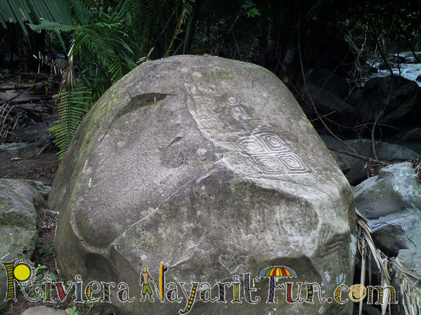
This lesser known but not to be neglected section of the Riviera Nayarit has much to be discovered and is probably best geared to adventure travelers seeking to explore the Pacific Coast of rural, historic Mexico.  Some of these tourist attractions include archaeological sites of ancient Aztec ruins, such as the Altavista Petroglyphs near Chacala and other ruins in Las Varas.

While Central Riviera Nayarit is still a relatively undeveloped tourist area, some towns like Chacala and Platanitos are growing in popularity for their exotic nature and pristine beaches of all shapes, colors, and sizes that offer varying ocean conditions for different vacation activities.  A hidden natural attraction near Platanitos is the lovely Laguna La Mataiza Lagoon that flourishes within a supportive ecotourism environment.

Other towns in the area are slightly inland along the lush tropical hills and valleys of the Sierra Madre Occidental Mountains and rainforests, such as Zacualpan and Las Varas.  Primarily agricultural towns with tropical fruit orchards, vegetable farms, and tobacco fields, they also feature some combined cultural and natural attractions like the caves of La Cueva de La Tigra containing ancient Indian cave drawings.

On your Mexico travels, explore the cultural treasures and natural wonders of Central Riviera Nayarit north of Bahia Jaltemba Bay along the Riviera Nayarit.


Seven Golden Rules of Mexico Tipping

A vacation on Mexico’s Pacific Coast can be a very indulging experience, especially if travelers view the concept of tipping for services in a different way.  Foreigners usually view tips as a bonus – something extra that service professionals receive for taking really good care of us.  In the Mexican tourism and hospitality industry, tips are typically the majority of employees’ income, since most only earn about $50 pesos (less than $4 USD) a day.

When you travel to towns along the Riviera Nayarit and receive that friendly, helpful Mexican hospitality, keep in mind that the service staff depend almost entirely on your tips as a source of their income – even at all-inclusive resorts.  Although tourists may not be responsible for foreign business practices, we can have a positive influence on Mexican culture and individual lives by giving generous tips.  Leaving good tips can also make the difference between an acceptable versus an extraordinary vacation.

1.  Currency Type

While Mexicans will accept foreign currency, they must pay exchange rate costs, so in most cases, the tip they ultimately receive is lower than the tip provided.  If you decide to leave a tip in foreign currency, leave only paper bills since coins cannot be exchanged. Note:  A benefit of paying for items in Mexican pesos is getting the lower purchase price.

2.  Taxi Drivers

Taxi cab services in Mexico typically include a tip as part of their established rates, so tipping drivers is not expected on standard trips.  If the taxi driver ‘goes the extra mile’ by helping you load and unload bags or by waiting for you at a destination, then leaving an extra tip is appropriate.

3.  Bell Boys & Baggage Handlers

Depending on the number, size, and weight of your bags and the room location (i.e., up or down a flight of stairs), a tip of $10 to $20 pesos per bag is customary.  Larger tips are recommended for heavier loads or repeat trips to collect and deliver your luggage.

4.  Room Housekeeping

Each time a housekeeper cleans your room, a tip of $20 to $60 pesos per occupant is recommended.  If you leave the hotel room in an unusually messy condition, giving a higher amount is appropriate since it takes them longer to clean the room.

5.  Waiters, Bartenders & Spa Services

A customary tip for spa technicians, restaurant servers and bartenders is 15% to 20% of the total cost if the tip is not already included on the bill.   Tipping $10 to $20 pesos for one round of drinks is acceptable, but when running a bar tab, a tip of 15% to 20% is customary. Note:  Base your tips for drinks on the full price instead of a discounted price.

6.  Tour Guides & Boat Crew

Sailing cruises; yacht charters; fishing, snorkeling, diving tours, and other organized vacation activities follow the same 15% to 20% tipping scale of the overall fee and are offered to the guide or captain (not a crew member) at the end of the tour.  For charter boats and yachts, a tipping alternative is to leave $500 pesos for the captain and $250 pesos for each crew member.

7.  Gas Attendants & Store Baggers

Since there are no self-service gas stations in Mexico, and store baggers work only for tips, tipping between $5 to $20 pesos is customary.  If the station attendant or bagger provides additional services, such as checking under the car hood, washing car windows, adjusting tire pressure, bagging many products, taking the cart to your car, loading and unloading bags, then tipping at the higher rate is recommended.

For a truly rewarding Mexico vacation in the Riviera Nayarit, apply these Helpful Tips on Tipping in Mexico.


Cruise the Beach Bays of Riviera Nayarit

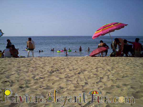
If you enjoy all that goes with vacationing or living near the ocean, then Mexico’s Pacific Coast is the place for you.  Coined the Mexican Riviera, it spans kilometer after kilometer (mile after mile) of dazzling gold beaches framed by beach bays and coves of all shapes and sizes suited to all kinds of activities.

While there are hundreds of bays on the Pacific Ocean, some of the most dynamic are located in the tropical paradise of the Riviera Nayarit, part of the Mexican Riviera.  Mother Nature has bestowed each of these beach bays with varying ocean conditions that match certain water sports and beach activities better than others.

Among them is Bahia Banderas Bay, the largest natural bay in Mexico and one of the ten largest in the world.  This vibrant bay is teeming with tropical fish and sea life that live among underwater rocks, caves, and coral reefs, making it wonderful for snorkeling, diving, whale watching, and sea turtle sightings. Other towns along the bay provide the best conditions for sailing, sport fishing, kiteboarding, and surfing.

Slightly further north are the more authentic Mexican beach towns of Bahia Jaltemba Bay. Home to some breathtaking long beaches and smaller beach coves with island views.  Portions of this bay have calm, clear, aqua sea water and soft, light, gold sand beaches, which are ideal for snorkeling, fishing, swimming, and beach sports.  One of the towns holds the largest open-air market (tianguis) in the region once a week.

Continuing north beyond this bay and the town of Chacala are the natural wonders of Bahia Matanchen Bay.  The towns and beaches along this bay harbor incredible biodiversity, such as marshes, mangroves, jungles, rivers, beaches, wildlife, and historical sites making it ideal for sightseeing, birding, boat tours, and conservation.  Its beaches are known to have some of the best waves in the region for surfing.

Uncover the hidden treasures of the Riviera Nayarit through its bountiful bays on your next Mexico vacation.


Legend of Mexcaltitán Island

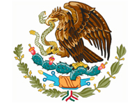
Mexico exists in large part due to the Aztec civilization, and the Mexican state of Nayarit is Aztec country.  Even the great Maya of the Yucatan Peninsula were invaded by Aztec predecessors.  Long before the “Riviera Nayarit” was considered a tourist destination, it was part of the influential Aztec empire.  Credited for naming the country of Mexico, the Aztecs also authored the crest in the center of the Mexican flag, which became the Mexican National Emblem.

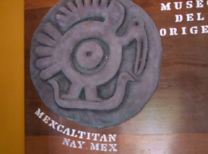
The image of the emblem comes from the Aztec legend, which identifies their new settlement as the place where a heron would be seen sitting on top of a cactus in the center of a lake capturing a snake in its beak.  On their pilgrimage from the island of Mexcaltitán in 1091 – considered the mythical Aztlán and birthplace of the Mexican identity – they searched for this new land, witnessing the snake-capturing heron in the region now known as Mexico City, and built Tenochtitlán in 1325, a significant site of ancient Aztec ruins today.

Arising out of this legend, historians believe the mythical name of the island, “Aztlán,” means “land of the herons” in the Aztec Nahuatl language, and its formal name “Mexcaltitán” derived from the Nahuatl “Metztli,” their moon goddess, which means “in the moon’s house.”  While the island may have multiple names, they do know the Aztecs eventually referred to themselves as the Mexicas after settling in the new region and calling it “Mexica,” which stems from the island name and later evolved into “Mexico.”

Tourist Attractions

Mexcaltitán’s historical significance makes it a truly magical place today. After receiving Historical Monument status in 1986, the island was designated by the Mexican government as a Pueblo Magico (magic town).  The Pueblos Magicos (magic towns) program began in 2001 to support the preservation of valuable historical areas which influenced Mexican culture and tradition. With about 40 Pueblos Magicos, it has increased tourism and income to towns that model Mexican culture, history, and architecture.

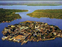
Built in pre-Columbian Mesoamerica by the Aztecs, this small island is only 400 meters (1,300 feet) in diameter, has no cars, and can be easily traversed by foot within an hour or two.  The island is accessible only by boat and is a 20-minute ride from La Batanga pier on the mainland near San Blas.  During rainy season, September through November, the roads are normally under water, making the only way around town by boat and earning it the nickname: “The Mexican Venice” (La Venecia Mexicana).

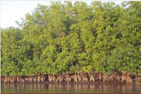
Surrounded by wetlands and endangered mangroves, conditions are ideal for shrimp fishing, the primary livelihood of island residents.  Mangrove marshes are natural shrimp habitats and also provide material to construct levees and make barcinas (special bags) for drying shrimp, the latter consisting of manta cloth and palm leaves.  Travelers who enjoy eating shrimp will find a variety of regional specialties with fresh shrimp, such as zarandeado, tamales, paté, and aguachiles (spicy lime shrimp).  It is also the place where dried, crunchy shrimp or “cockroach shrimp” were created, a delicious snack served with chilled cerveza (beer).

For such a small island, its rich history offers significant cultural attractions.  Dotting the natural landscape of this picturesque little island are traditional tile-roofed buildings and small unnamed stores that residents identify by memory.  Central to the island is the town square with a church and museum, Museo del Origen (Museum of Origin) which contains artifacts of Mesoamerican history and Aztec culture, including an archaeological stone engraving with that meaningful image of the heron capturing a snake, without which, Mexico may not be known as the cultural treasure it is today.

The island of Mexcaltitan is one of various tourist attractions worth visiting near the beach town of San Blas in the Riviera Nayarit, Mexico.


Play at Playa Las Tortugas

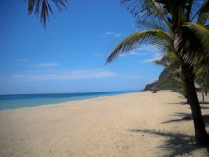
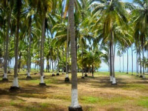
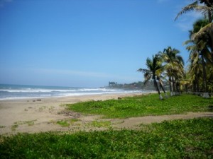
Protecting endangered sea turtles is an important part of Mexico’s various nature conservation programs.  In the township of Otates, southwest of San Blas and northwest of Chacala, lies a glistening gold beach in the Riviera Nayarit called Playa Las Tortugas (Beach of Turtles). Named for the sea turtles that nest here, this secluded beach extends across miles of pristine Pacific coastline bordered by hundreds of immense coconut palms on a working coconut plantation.

Although it’s not easy to find, it’s well worth the trip.  Heading northwest beyond the charming beach town of Chacala, Playa Las Tortugas is about a one-and-a-half hour drive from Bahia Jaltemba Bay which includes a 30-minute drive along a rocky dirt road that winds through the lush tropical countryside. There are only a few road signs spread wide apart, so just when uncertainty kicks in, “Ah ha!” Another sign points in the right direction.

Trusting the road and bouncing through rural Nayarit unveils this secluded beach, tucked away in a remote location – one of the reasons why it’s worth the visit.  There are virtually no people; the beach is empty and peaceful; and there are no vendor stands or shops.  If you plan to stay a while, bring plenty of drinks and snacks.  One thing you will find is a small community of brightly colored villas for vacation rentals or retirement homes surrounded by lush tropical gardens at the end of the road.

On the villa grounds at Playa Las Tortugas is a turtle rescue sanctuary for protecting the offspring of endangered sea turtles that nest on the golden sand.  Supported by donations and volunteers who scout the beaches looking for the turtles’ shallow nests, they save the eggs; bring them to the sanctuary for incubation; and then release ready young hatchlings into the ocean.  Visitors are welcome to observe and learn about sea turtles, and participate in turtle releases – a wonderful experience!

What else can you do at Playa Las Tortugas?  Plenty. Besides swimming, sunbathing, and relaxing, this beach happens to be a secret spot for surfing and boogie boarding for its long, intense waves.  Other popular vacation activities include kayaking along the beach and canoeing through the coconut palm-lined estuary.  Surrounding tropical rainforests, marshes, and mangroves are natural habitats for hundreds of native and migratory birds making this an ideal spot for birding and bird watching.

Enjoy a true escape to Playa Las Tortugas northwest of Chacala and southwest of San Blas in the Riviera Nayarit, Mexico.


A La Penita Vacation with Ghosts

- By Susan J. Cobb

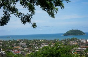
La Penita Hilltop Ocean View

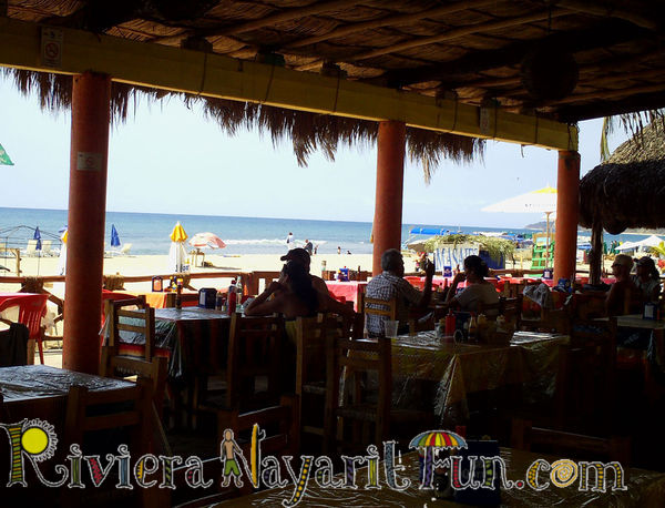
La Penita de Jaltemba is a charming beach town but not in the touristy sense. Its Pacific Ocean edge is marked by moss covered, wave-battered remains of large houses, victims of Hurricane Kenna, which in 2002, swept away a way of life, along with bricks and mortar. What remains are ghosts: a pair of seahorses atop two pedestals mark the entrance to what was once the malecon, a seaside walkway that residents are assured will be rebuilt “someday.” There is one, and only one, restaurant directly on the beach. The bright parasols of Las Brisas draw locals and tourists on Thursday morning market days. The food is good and they stay.

To walk south along this beach requires climbing up and over the ruins of spacious patios, skirting the footings of what were once walled gardens. Sand-smoothed fragments of tile, stone, and glass provide materials for local mixed media artists. Photographs are best taken at sunset, when light and shadow lend charm and intrigue to what may look harsh and shabby at midday. This is “the real Mexico,” travelers say. The boats drawn up on shore are not for excursions but for local fishermen.

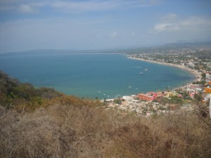
La Penita Hilltop View North

To walk north on the beach is to end up in a place of more ghosts. El panteon viejo, the old graveyard, melts down to the shallow beach at the north end of town. Crypts and stones tilt at odd angles. What secrets are hidden in the sand? The graveyard sits at the foot of a cuesta, an outcropping of black lava rock, a solid base to four or five elegant vacation homes entrenched high above, escaping the waves but not escaping the ghosts. The inn at Casa de los Amigos welcomes paying corporeal guests. Could there be a better place to read a mystery novel or begin writing one?

On the north side there stretches at least 7 kilometers (4 miles) of unobstructed palm-fringed, golden sand beach. At the end, hard up against the base of el cocodrilo, the snout-nosed landmass that crouches at the northern end of Bahia Jaltemba Bay, is Boca de Naranjo. Here there are more ghosts. The frayed and sun-bleached remains of a dozen or so beach palapa restaurants scatter this remote section of beach.  Once a nice place to sit for hours, drinking Pacifico beer and watching whales pirouette and play off shore, a development company evicted the restaurants with plans to build a resort there – someday.

Rincon de Guayabitos Ocean View

If you go by foot, take water, a hat, and sunscreen, since you can easily lose time when ghosts are involved. My teenaged nephew found that out several years ago.  His Sunday morning excursion from our home in Rincon de Guayabitos (I’ll-be-back-in-an-hour-or-so-Aunt-Susan) turned into a rite of passage. Was it ghosts that drew him on and on, enticing him to hike all the way to the base of el cocodrilo? He returned late in the afternoon, sunburned and dehydrated, but as he confided later, with a new perspective on life. Going and coming he had contemplated the ghosts of La Penita.

Things here today can vanish with a breaking wave. Nothing lasts forever except the memories.  Instead of returning to college the next semester, my nephew joined a carnival and traveled through the States for two years, living “full out,” gathering memories that would last a lifetime. Back into his studies now, he still counts that day on Bahia Jaltemba Bay as a pivotal time. Walking with ghosts can sometimes bring the living to life.

For a unique experience, take a La Penita Vacation on the reminiscent shores of Bahia Jaltemba Bay in the Riviera Nayarit, Mexico.


A Song for San Pancho

San Pancho Beach

Maybe you haven’t heard of the Mexican town called San Francisco, Nayarit, affectionately nicknamed ‘San Pancho,’ but the popular Mexican rock band Café Tacuba feature a video about this lovely beach town accompanied by their song, “El Aparato” (on YouTube).

If it’s worthy of a professional video and song, it’s also worth a visit.  Located on the Pacific Coast of Mexico in the Riviera Nayarit, San Pancho is a quaint town with pristine beaches, tropical nature, and a tranquil lifestyle.

Just a 15-minute drive north of Sayulita, a popular surf spot, and 45 minutes north of Puerto Vallarta, its charm and beauty will steal your heart away.

San Pancho Summary

San Pancho Sunset

Only 40 years ago, this town was just a sleepy fishing village consisting of four extended Mexican families totaling about 100 residents.  When it became an official town in 1975 by founding father and former Mexican President, Luis Echeverria, it began to grow, attracting nationals and foreigners to its shores, eventually reaching the current population of nearly 2,000, many who are relatives of the original families.

More than a few things make this town special:  its secluded location alongside the deep blue Pacific Ocean with sparkling gold beaches surrounded by tropical rainforests and fruit orchards in the peaks and valleys of the Sierra Madre Occidental mountains; fresh fish and seafood caught by local fishermen; colorful sunsets melting into the ocean; and the friendly local characters telling fascinating stories about the town and their lives.

San Pancho’s hidden location in the tropics of Mexico and its natural lifestyle lend themselves best to nature activities both on land and by sea, such as hiking, mountain biking, four wheeling, and horseback riding across the rolling hills and lush jungles; and water activities such as swimming, fishing, kayaking, and some of the best snorkeling, diving, and surfing at nearby beaches.

Multicultural Community

San Pancho Girl

Thanks to its diverse community and increasing foreign population, this little authentic Mexican town has some big entertainment of its own, such as a 9-hole golf course centered amid fruit orchards (Las Huertas Golf & Beach Club) and a polo field (La Patrona Polo Club) with an art gallery, restaurant and lounge with music and is the place where social events and equestrian shows are held.

Community is what defines this peaceful beach town, and with an increasingly growing international population of Americans, Canadians, and Europeans, this brings with it increased employment and education opportunities for the locals.

In addition to the opening of shops, restaurants, and bars in town, the EntreAmigos Community Center teaches new skills to local families so they can achieve success in their evolving town.

San Pancho deserves the attention of the tourism industry for its attributes and contributions to the splendor of the Riviera Nayarit and for creating new opportunities for its Mexican residents.  Over 200 Canadians and Americans have discovered its charm and tranquility for themselves by investing in second homes and vacation homes, while travelers are just starting to catch on.  Why not discover it for yourself?

You too can Sing About San Pancho after visiting the beach town of San Pancho (San Francisco), Mexico, in the Riviera Nayarit.


Reasons to Visit the Riviera Nayarit

Lo de Marcos Beach

The Riviera Nayarit is the place of fairytales – a natural wonderland on the Pacific Coast of Mexico spanning 200 miles (322 kilometers) of rolling jungle hills scattered with small beach towns lining the deep blue sea.  Although the region is not yet well-known, you may have heard of some of the more popular towns, such as Nuevo Vallarta, Sayulita, Punta de Mita, and San Blas.

The region is just gaining recognition worldwide as a preferred tourist destination with many natural wonders, cultural attractions, land and water activities.  Recent statistics indicate there are over 12,840 hotel rooms in the region, 60% of which are 4-star rated and higher.  More vacation rentals are being developed, but most are smaller, traditional villa or cabana styles to complement the traditional architecture of the region instead of building high-rise mega resorts.

Attractions & Activities

One of the main attractions of the Riviera Nayarit is this part of the Pacific Ocean.  Forty-two miles (68 kilometers), from the state of Jalisco into Nayarit, is Bahia Banderas Bay, Mexico’s largest natural bay flourishing with fish and marine life, and is the primary breeding site for Humpback whales.  Water activities include whale watching (mid-December through mid-March), swimming with dolphins, and sport fishing year round, plus sailing, boating, kiteboarding, surfing, snorkeling, and diving.

There are also plenty of land activities offering nature tours and sightseeing opportunities,  such as hiking, horseback riding, mountain biking, four wheeling, and zip lining through the jungle.  The tropical rainforests, lush jungles and valleys of the Sierra Madre Mountains and the thriving wetlands and mangroves have established Nayarit as an important ecological reserve.

Ecotourism & Wildlife
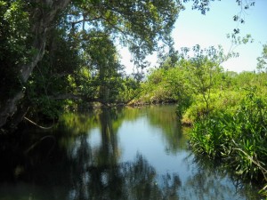
La Tovara Wetlands

Nature conservation makes this a wonderful place for sustainable tourism (ecotourism or environmentally friendly tourism) which provides options to help preserve the world’s precious ecosystems and maintain the region’s natural beauty and cultural heritage.  Nayarit is home to the historic Aztec Indians, such as the Cora and Huichol tribes, featuring a variety of cultural attractions such as archaeological sites like the Altavista Petroglyphs and Los Toriles (Ixtlán del Rio) Ruins, or tours like the Huichol Indian Encounter.

Another of Riviera Nayarit’s ecological contributions is its endangered sea turtle conservation programs.  The region is home to the Olive Ridley, Hawksbill, Leatherback, and Green sea turtles which nest on its golden sand beaches certain times of the year. Their fragile eggs and hatchlings require protection from predators, which have resulted in turtle sanctuaries, farms, and rescue programs that provide opportunities for travelers to observe them in their natural habitat and participate in baby turtle release programs into the ocean.

Not only are the oceans flourishing with fish and marine life, but Nayarit’s rainforests, wetlands, and mangroves are also a refuge for wildlife, including 500 animal species and 200 plant species. The marshes and beaches of Bahia Banderas Bay and Bahia Jaltemba Bay, just north, are a natural habitat for migratory birds, making birding and bird watching another popular activity.  In fact, 80% of the migratory birds along the Pacific Coast make their homes in the towns of La Tovara, Singaita, Isla Isabel, and San Blas, the latter which is home to 300 bird species.

Beach at Punta de Mita

So the next time you begin vacation planning, consider visiting one of the lovely beach towns in the Riviera Nayarit:  Nuevo Vallarta, Flamingos, Bucerias, La Cruz de Huanacaxtle, Destiladeras, Punta de Mita, Litibu, Sayulita, San Pancho (San Francisco), Lo de Marcos, Punta Raza, Los Ayala, Rincon de Guayabitos, La Penita de Jaltemba, El Capomo, Chacala, Boca de Chila, Punta Custodia, Matanchen, and San Blas, although there are still more.


Vacation in SayulitaPunta de Mita, or one of the many charming beach towns in this tropical paradise known as the Riviera Nayarit, Mexico.


The Journey to the Petroglyphs

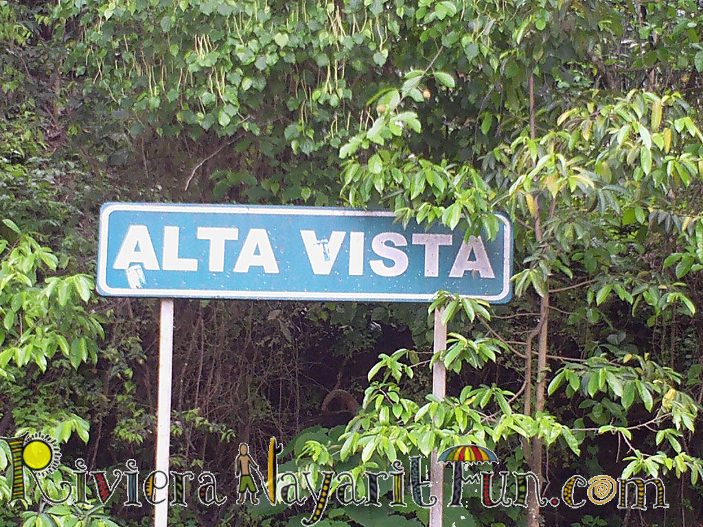
Owen and I started our on our journey, not having a lot of directions other than knowing that the petroglyphs were in Alta Vista on the Riviera Nayarit in beautiful Mexico.  If you are heading north, the Alta Vista town sign is just past kilometer 82 on the Mexico Hwy 200. You will want to turn right there. After that you will want to make the first left, which takes you to Senior Gonzales place, where the trail head starts. He charges 20 pesos (about 2 bucks) per person.
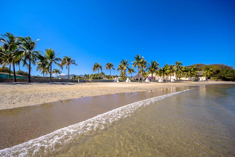
The Town of Alta Vista

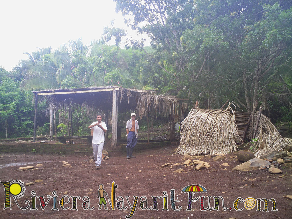
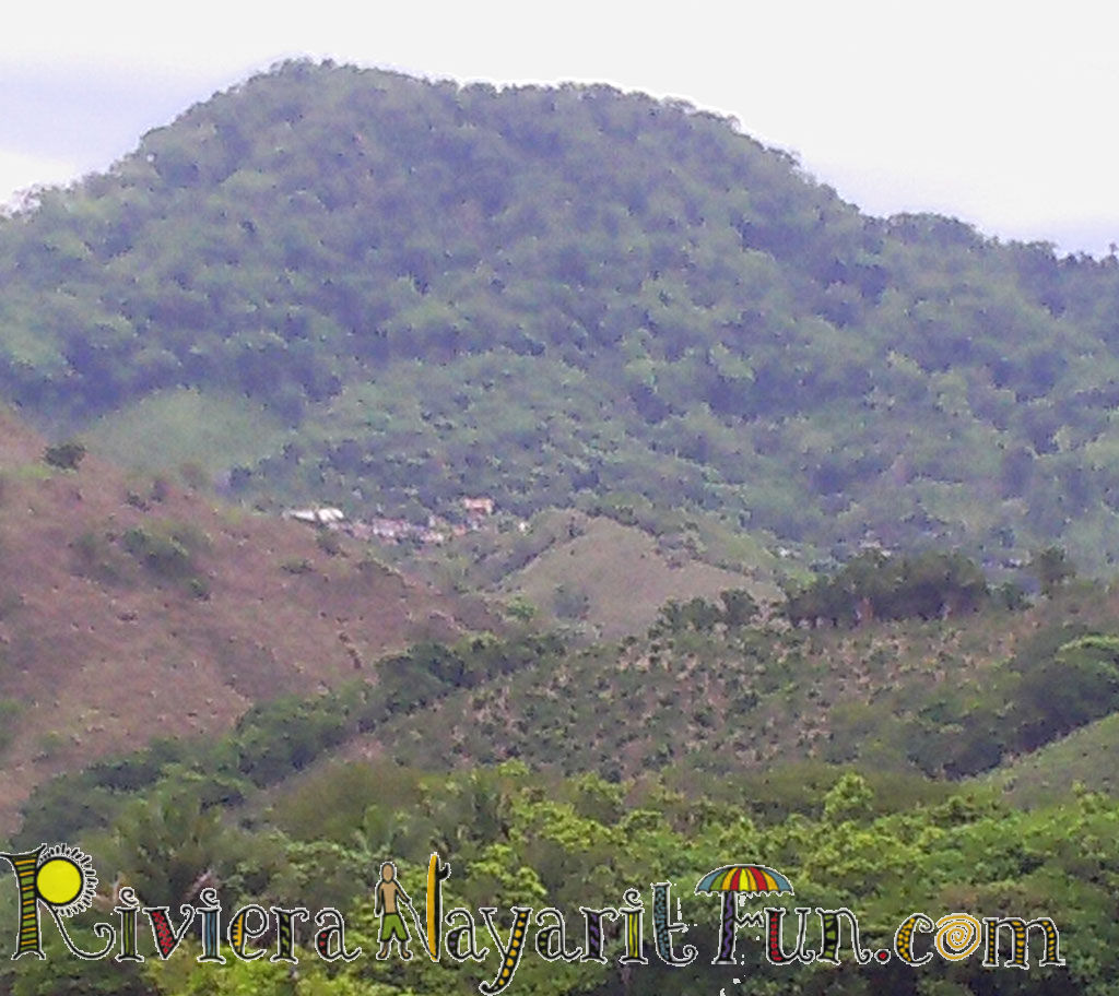
The dirt road was very well taken care of and seemed to be well traveled. We stayed on the main road and went all of the way into the small town of Alta Vista, which is literally carved out of the hillside, thinking that it was where the trail head to the petroglyphs were located, but it was not.

The town was very small, with only a couple of roads carved off of the main street. Chickens were running around, as I comically like to refer to the chickens of Mexico “free range chickens” and the roosters were hanging out together loving their free range lives as well, eating the bugs and whatever else free range chickens and roosters eat, leaving me to wonder where all of the eggs are laid, and how they find them.

Alta Vista is a huge farming community that grows mangoes, bananas, papayas and guanavano’s down below the village.  Guanavano’s are a really cool looking fruit with thick green skin with soft spikes all over it. I had not had the chance to see one yet, or taste one until that day. The flesh of a guanavano is white and fleshy and a little bit viscous, but it tastes incredibly delicious! The natives say that it has properties that cure cancer, but I have not checked that information out for myself yet.

It did not take long to discover the town, but we did not see any signs about petroglyphs. So we turned around. As we were turning around, a four wheeler was coming by, so we asked about the petroglyphs. He knew what we were talking about, and told us to follow him. And so we did. He went to find another man to help us and his name was Oscar. Oscar owns a lot of the farm land below. He spoke some English, which was good for us, (as we are still learning Spanish) so Oscar hopped into the jeep and off we went back down the road out of the town.

Finally on the Path to the Petroglyhps

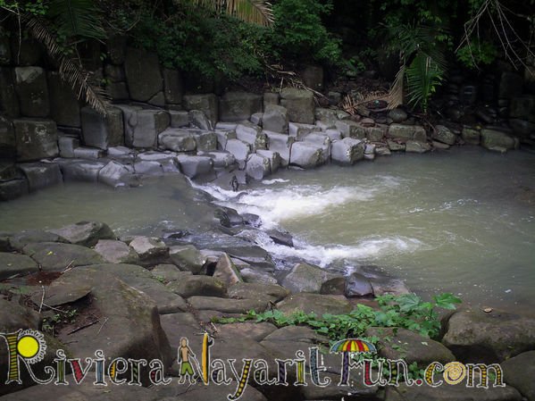
Oscar directed us to turn where there was a gate leading into the orchards. We ended up going through 4 gates. All along the way there was an abundance of mango’s and papayas. It was incredibly beautiful. The dirt road was muddy in spots, and it was good that we had the 4 wheel drive jeep. We stopped and got out and walked about 10 minutes to the river, under a fence, across the river and onto the trail where the petroglyphs were located. The scenic tour indeed!

The Petroglyphs

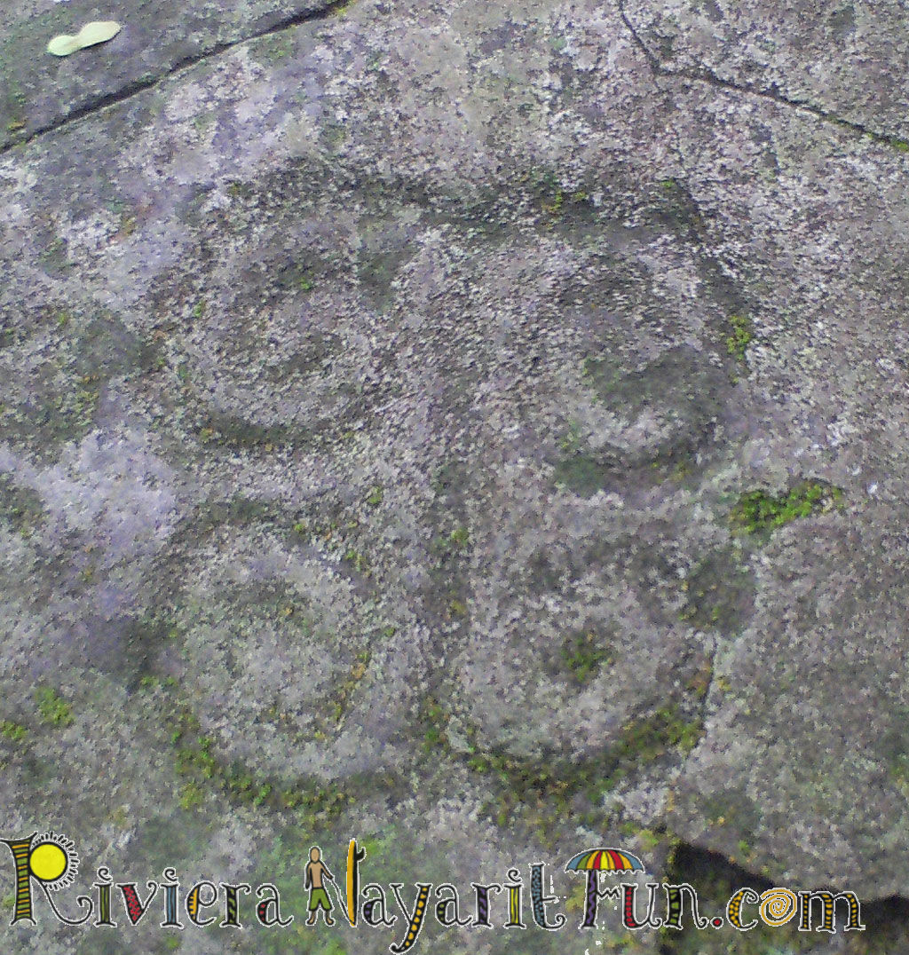
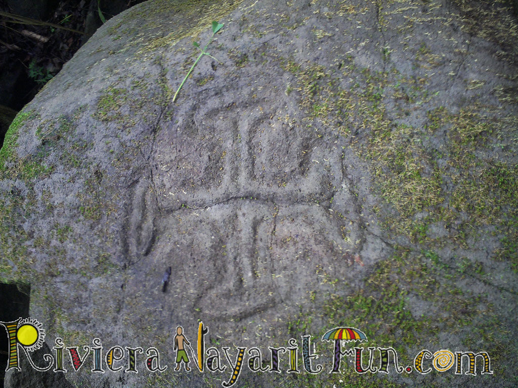
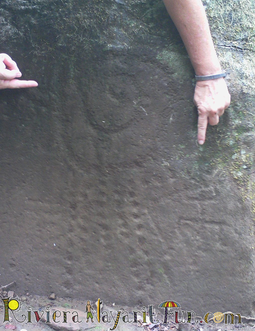
All I can say is wow! I have seen many petroglyphs, and these are some of the most amazing petroglyphs I that have seen, as well as there were so many of them. There were spirals, which I believe were the sun, people, aboriginal dots and there were also two flat large beds that seemed to be where they had sacrificial killings for the gods.  The trail was well worn and  easy to hike, and it was fun with the river flowing down on the right. We were hiking in the middle of the jungle! We took about 130 pictures. It was truly amazing. It took about 45 minutes to walk the trail and check out the petroglyphs, ending at a large pool and a small waterfall where the native Indians held their ceremonies, and still do to this day. This picture to the left looks like rain coming down on a person to me.

Finding a Guide

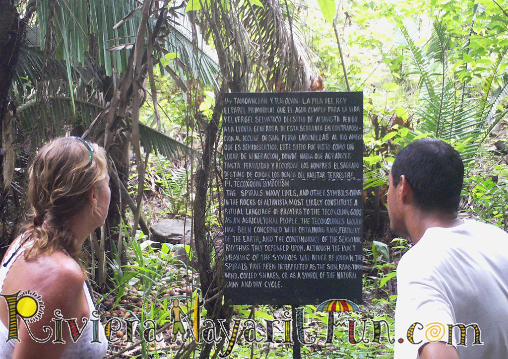
It was really great to have Oscar as our guide, but you won’t need one. Here is Oscar and I reading one of the many posted informational signs, which by the way are in English and Spanish. But, if you do, just about any tour guide outfitter will be able to help you, and there are many tour guide companies to choose from that will be happy to bring you to the petroglyphs.

Or if you have a car and are looking for more adventure,  you may choose to go on up to Alta Vista after 2:00 pm and look for the first big white house on the left as you come into the town. Or, just ask around for Oscar and you can get the same scenic tour like we did…but you better have a 4 wheel drive for that excursion!

Another really great thing about visiting the petroglyphs is the fact that it doesn’t have to take up your entire day. Plan for about three to four hours for the trip. And, you will still have plenty of time to get in some snorkeling, or get a massage in the afternoon. And, its great for the entire family!

So, when you come to the Riviera Nayarit, remember to visit the petroglyphs, which are only about 15 minutes away from Chacala.


© 2012 Riviera Nayarit Fun Suffusion theme by Sayontan Sinha